Tips for using the map
This map is used for collecting information about wildfire resilience and vulnerability in the area surrounding . Here are a few tips for how to interact with the map.

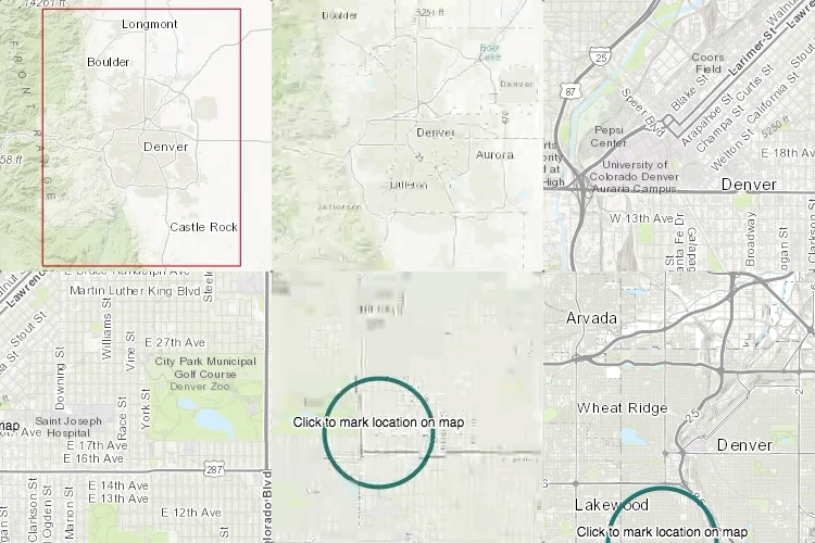
Panning and zooming

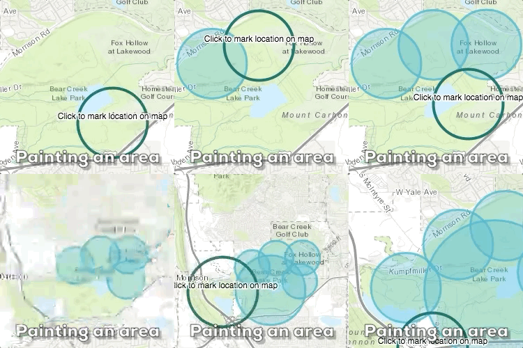
Pointing out areas
Move the map
- Pan the map by clicking and dragging with the mouse.
- Zoom the map by using the mouse scroll-wheel.
Point out locations
- Click once to place a point on the map.
- The size of the point matches the colored circle surrounding the cursor.
- Zooming-in lets you mark locations in more detail while zooming-out is useful for marking general areas.
Modify points
- Mark the checkboxes to describe the location.
- Delete a point by clicking on the delete button.